


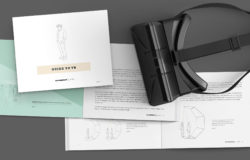


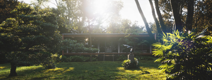
Brillhart House
RILLHART HOUSE
LOCATION: MIAMI, FLORIDA
Design: brillhartarchitecture
CG cover: VicnguyenDesign
Sw: 3dmax, corona, PS
thanks all C&C
Access the Best Articles about Architectural Visualization. Learn about all aspects of crafting images that tell stories.
Making Of's Case Studies WorkflowsShare your work and get immediate appreciation through discussion, feedback, and a possible nomination for the…
![]()
A weekly experiment, exploring the creative minds in Architectural Visualization and more. Find out what makes us all tick and push the limits.
Listen Now! Subscribe on iTunesOut with the old and in with the new! In Converted, I’m asking you to take an in-depth look at existing architecture near you or one you love worldwide and introduce something new.
See Entries & Join! About ConvertedRILLHART HOUSE
LOCATION: MIAMI, FLORIDA
Design: brillhartarchitecture
CG cover: VicnguyenDesign
Sw: 3dmax, corona, PS
thanks all C&C
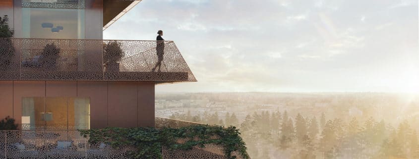
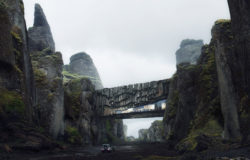
Ski Tårn by Reiulf Ramstad is one of five towers which will be build in Magasinparken Ski. The vision is to develop a future-oriented, unique architectural building in a human friendly and pleasant new neighborhood in Ski Vest, just south of Oslo.

Metro and subway maps can tell us a lot about cities. For example, by comparing metro maps from different cities, you might be able to understand those cities’ relative size or level of development. Or, by comparing a metro map to an earlier version from the same city, you can learn about the pace of development being experienced in that city. What these “maps” rarely tell you with any reliability, though, is the actual geography of the city itself.
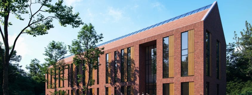
Hello friends!
This is My Free time Render , Real Building Referred From Daily Arc. Software used – Auto-desk 3Ds Max ,Corona Render, itoo Forest pack and Photoshop Credits – Daily Arc_Walters & Cohen Architects.
hope everyone likes it.
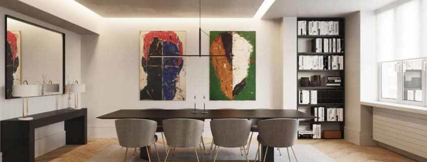
The client had the apartment fully reform and contact us to make a proposal for the interiors.
We made as well 360 images (http://n-bucle.es/visitas360/odonnell/).
Hope you like it.
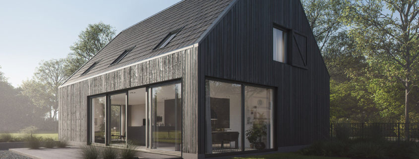
A set of images we did for a private client building their own home in Sint-Oedenrode, The Netherlands.