The 7th Architectural Visualization Challenge I’m running in partnership with Quixel as the marquee sponsor. The book CABINS by Philip Jodidio and the fantastic illustrations by Marie-Laure Cruschi served as the principal inspiration for this year’s challenge theme. That, and my love for prefab architecture design.

CABINS entry by Threedee

For me, the most exciting thing about a cabin is its hidden isolation. A place known only to you. Somewhere special. Private. Peaceful.

That’s where I wanted to start. A tall order I know!

Pinterest was first on the list.

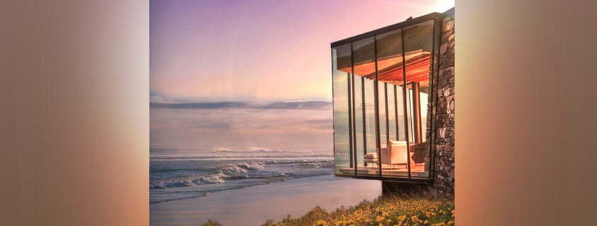
Special. What was unique yet simple? Location was important. The idea of having your own island seemed strongest. Tropical islands had been done. Rugged and Beautiful? Rocky? Windswept? Wildflowers? Lighthouse Islands? Yes.

Private. Getting to your cabin shouldn’t be hard. But where to put it? You don’t want everyone and they’re dog just dropping by! Hidden or “tucked away” was best. Islands with coves… Islands with low tide access.

Peaceful. Lighthouse-type islands yes. Rocky crag no. I wanted a beach you could go looking for seashells. Pick flowers on the hill. Your hill. Where you could have a BBQ, crack a beer and watch the sunset.

Now this is a reality I could get behind…

A “Virtual” Reality I could create.

CABINS entry by aviel08

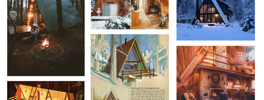
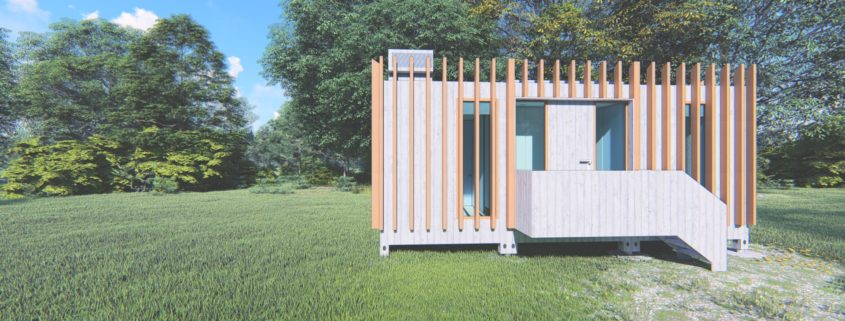
Life is all about good timing, I just found out about this challenge as I’m designing a small cabin for me and my expanding family. I’ve been always drawn to mid-century design so I’m using those layouts as a base and I’ll modify them to suit our needs.

CABINS entry by Auxey

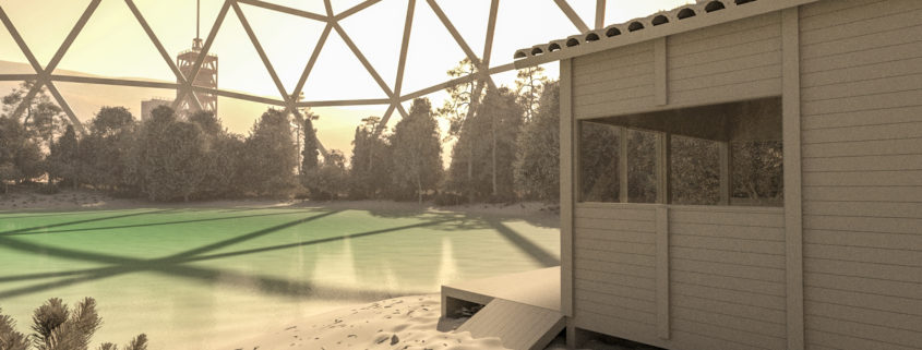
I modelized the whole project ( the dome, The cabins, etc.. ). I used a .STL terrain provided by the Nasa for the Mars Area. Actually, it’s the place where Curiosity landed. I had to trick a little with the scale because the .STL data of the terrain is very large. For the ambience, I used a simple Vray sun because The light there in Mars is in any case different than here on earth and the Vray sun gives us good control for that. I used also the Vray aerial perspective set to 6000m large and 500m height. It works pretty well. For the dome, I just took references on what we do here on Earth. It’s a Geosphere on that I used the lattice modifier to extract the structure. The trees come from Vizpark libraries. All the Debries, grass, stones and terrain texture are Megascan stuffs.

CABINS entry by Auxey

For this step, I modelized the whole project ( the dome, The cabins, etc.. ). I used a .STL terrain provided by the Nasa for the Mars Area. Actually, it’s the place where Curiosity landed. I had to trick a little with the scale because the .STL data of the terrain is very large. For the ambience, I used a simple Vray sun because The light there in Mars is in any case different than here on earth and the Vray sun gives us good control for that. I used also the Vray aerial perspective set to 6000m large and 500m height. It works pretty well. For the dome, I just took references on what we do here on Earth. It’s a Geosphere on that I used the lattice modifier to extract the structure. The trees come from Vizpark libraries. All the Debries, grass, stones and terrain texture are Megascan stuffs.

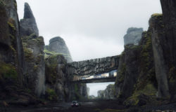
CABINS entry by serge rodionov

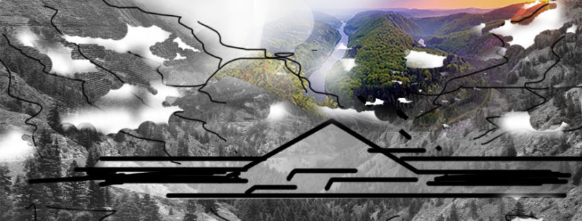
The concept of the future self -sufficient housing in the mountings at the most highest altitude. The housing complex is going to be placed between 2 mountains at the very highest point see level surrounded by wild nature. Many greens, fresh air and the healthy lifestyle.