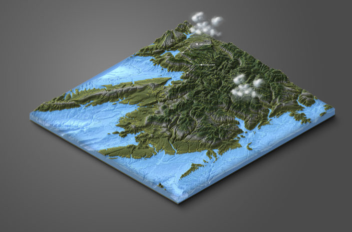
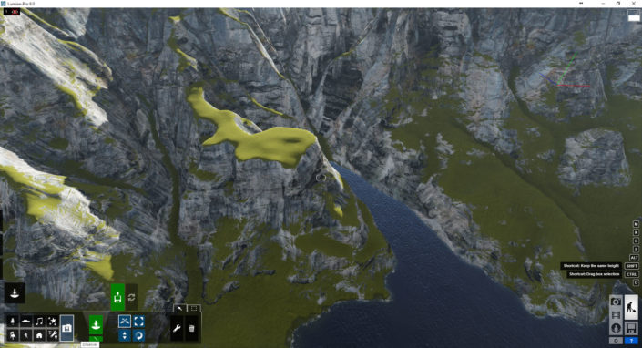
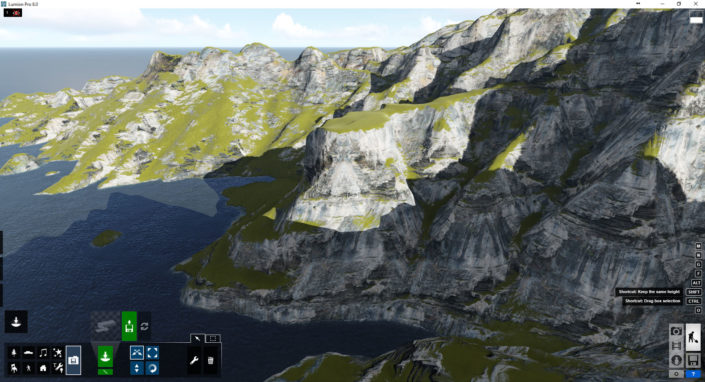
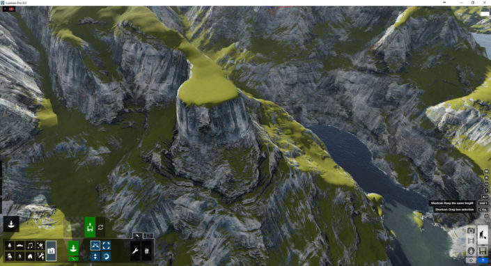
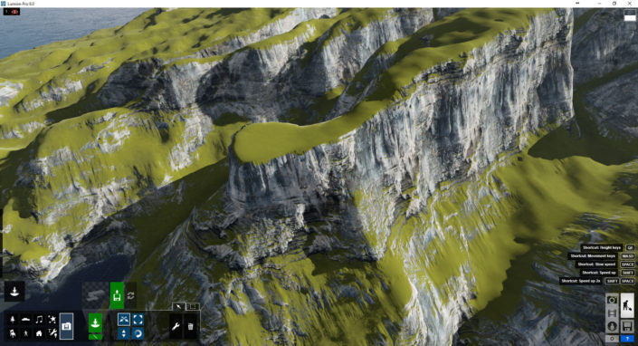
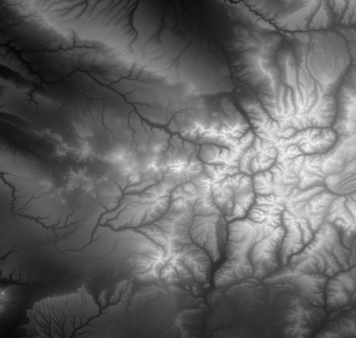
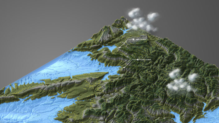
I decided to use Lumion as my main tool and had to figure out how I jump start my terrain based on a real location height-map.
I tuned out to be very easy. Just import a grey-scale image representing the height-map into Lumion and then keep sculpting it with the built-in tools.
I am describing this process in my Making of CABINS Part ONE and will expand on it in Part TWO.










Leave a Reply
Want to join the discussion?Feel free to contribute!